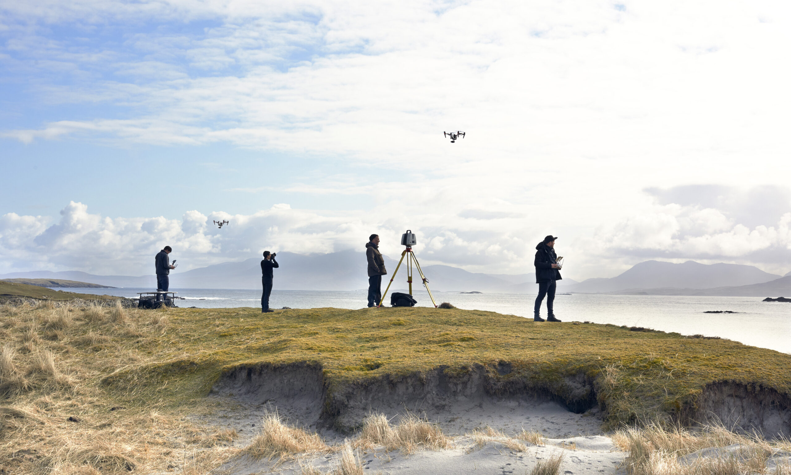
Construction and the built environment were early adopters of laser scanning, and they remain some of its most demanding users. Survey-grade LiDAR produces millimetre-accurate point clouds that de-risk design decisions, document existing conditions before work starts, and give planners, architects and heritage officers a single trustworthy model to argue from. Increasingly, that same data serves visualisation: photoreal CG grounded in real measurements is far more persuasive than an artist’s impression.
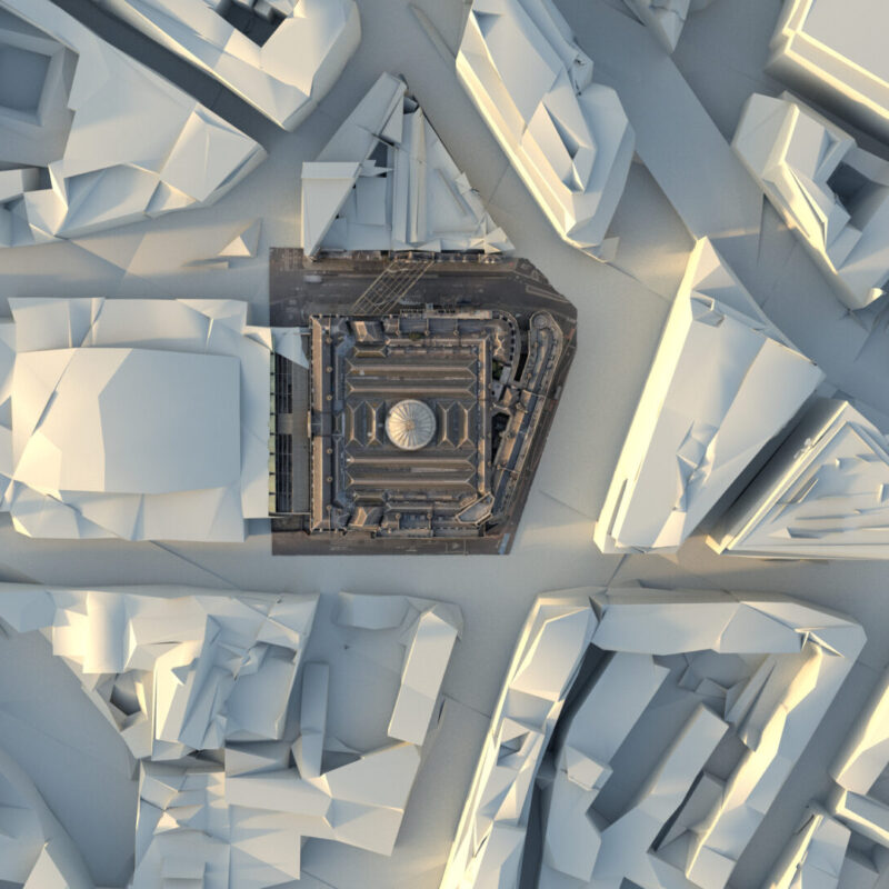
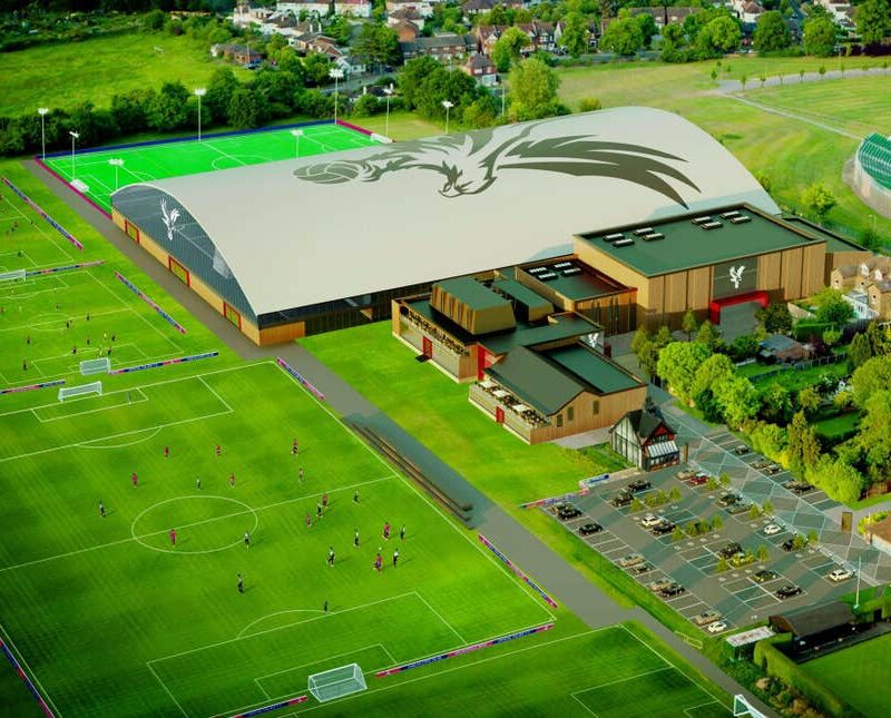
The projects here show that span. Our aerial CGI work helped Crystal Palace FC secure planning consent for its academy by showing exactly what the development would look like in context. The Smithfield survey preserved a landmark through point clouds ahead of redevelopment. Le Train Bleu became virtual production assets in Unreal Engine 4, and our AEC lifecycle piece maps where LiDAR and 3D Gaussian splatting now fit from survey to handover. If you need scan data that stands up to both an engineer’s scrutiny and a planning committee’s imagination, this is the category to read.