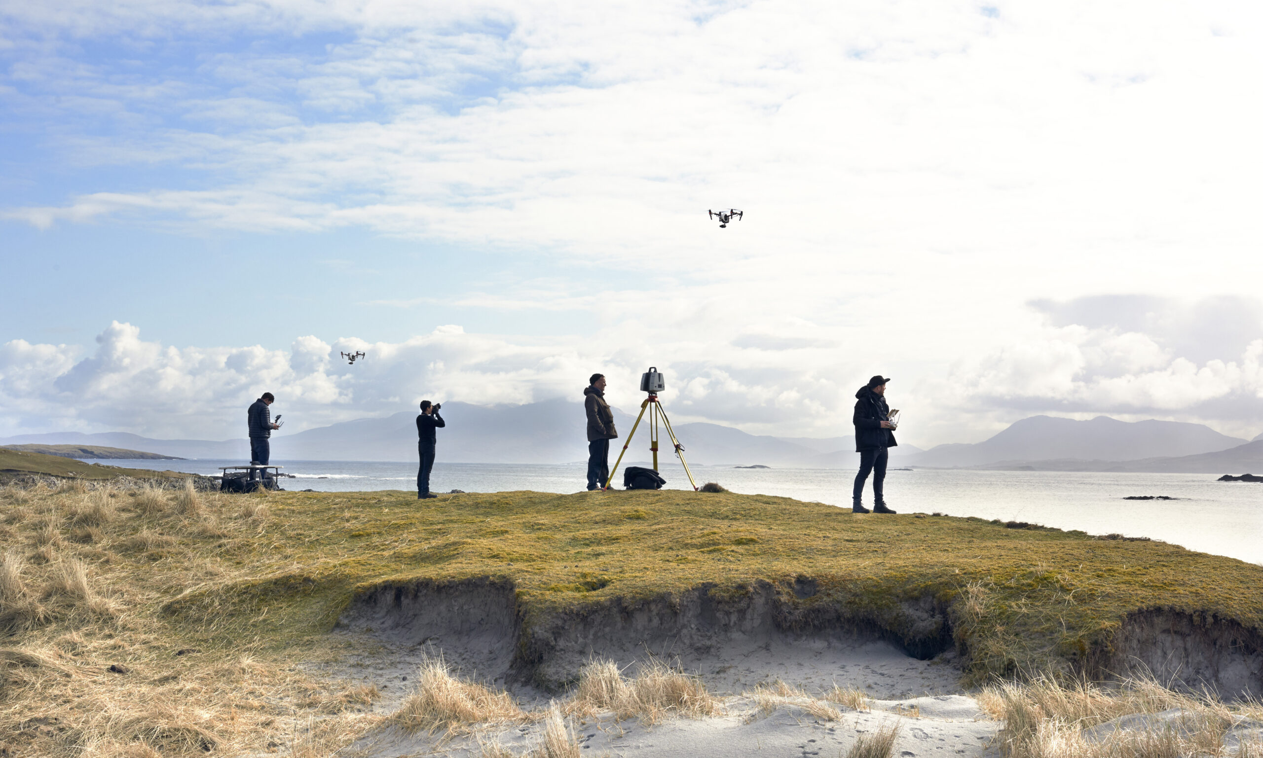
Heritage capture is where 3D scanning stops being a production tool and becomes a record for the future. Visualskies has scanned UNESCO-scale archaeology and working historic buildings across four continents — from the hydrological secrets hidden beneath Petra to aerial LiDAR over remote Pacific sites, and multiple seasons of Lost Cities with Albert Lin for National Geographic and Disney+. Millimetre-accurate point clouds and photogrammetry preserve monuments as they stand today, survive what weather and time do next, and give archaeologists data precise enough to test real hypotheses against.
The same capture rigour serves the built environment: our drone scanning work for heritage preservation and our writing on LiDAR and 3D Gaussian splatting across the AEC lifecycle show how scan data flows from survey through conservation planning to public engagement. Increasingly, one capture serves every audience — conservators get the measurable record, documentary makers get photoreal environments, and museums get assets for holograms and immersive exhibits. If you steward a historic site or are producing archaeology for the screen, these projects show what modern capture makes possible.