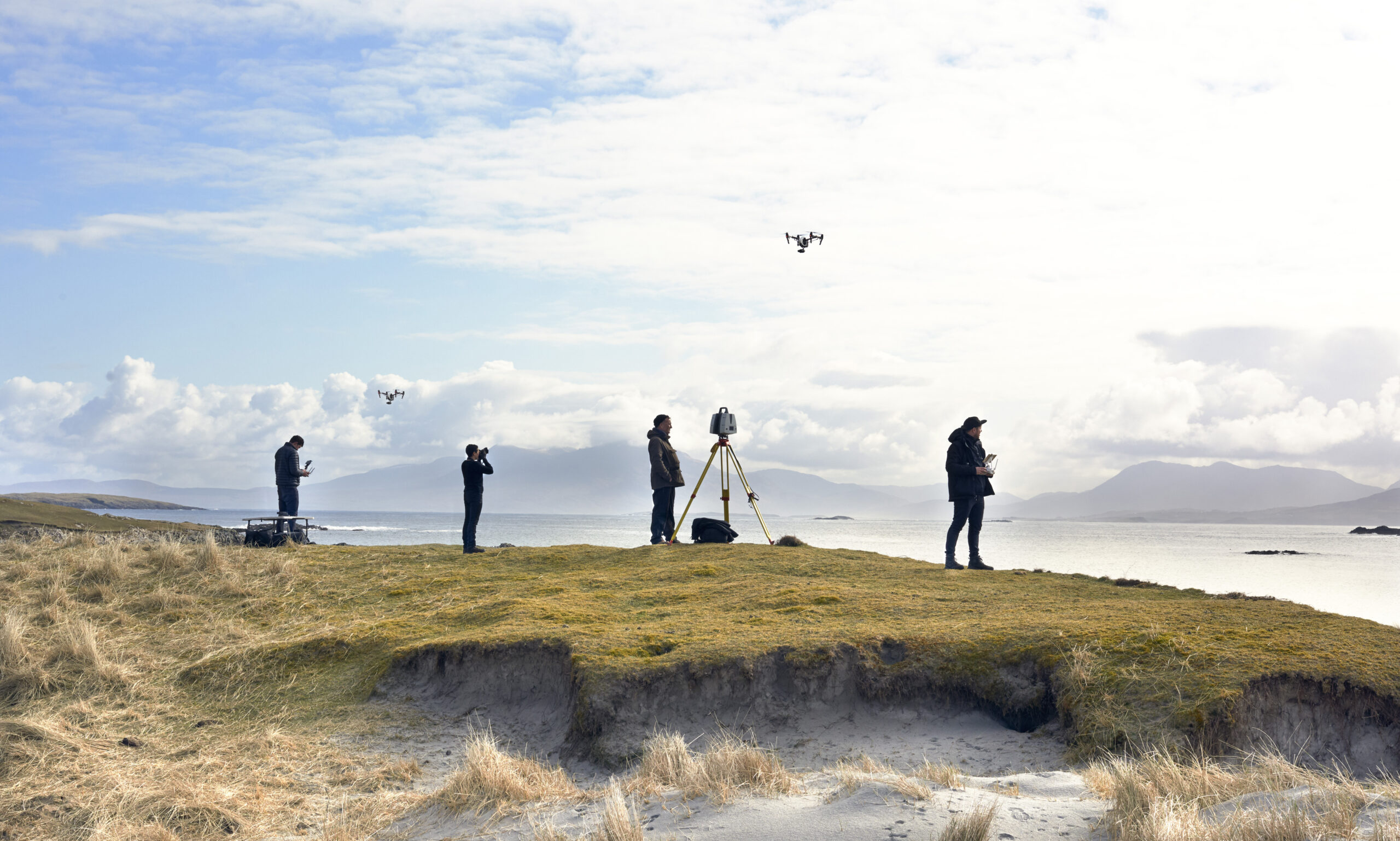
Aerial LiDAR is how you scan the unscannable: landscapes, ruins, rooftops and terrain that no tripod-mounted scanner can cover economically. Mounted on drone platforms, the sensor sweeps millions of measurements across a site in minutes, penetrating vegetation gaps to reveal ground structure that’s invisible from the air and inaccessible from the ground. For archaeology especially, it has become the discovery tool — finding walls, roads and settlements under canopy that centuries of surface survey missed.
The expeditions tagged here show it at full stretch: Nan Madol’s island ruins, Inca sites in the Andes, Petra’s water systems and other Lost Cities with Albert Lin captures. The same capability serves film (establishing-scale set capture), construction (site surveys) and heritage management. Aerial LiDAR missions are operationally demanding — flight permissions, payload engineering, terrain-following flight plans — and these posts reflect that fieldcraft. If your site is measured in hectares rather than metres, this is the technique to ask about.