Overview
In this episode, we were asked to look at the amazing Nabataean sites and landscapes that are the little known backstory to the world famous site of Petra in Jordan. The Nabataeans were an Arab people who inhabited Northern Arabia and the Southern Levant in antiquity. Their settlements, most prominently the assumed capital city of Raqmu or present-day Petra, gave the name of Nabataene to the borderland between Arabia and Syria, from the Euphrates to the Red Sea. We applied our 3D scanning technology to digitise and visualise various locations in the Petra hinterland, including the magnificent Nabataean temple at Khirbet Al-Darieh and the vast ancient agricultural landscapes at Ras Al-Silaysil. But perhaps the most challenging location for the equipment and the scanning team was the remote Nabataean mountain stronghold of Sela. Overseeing the Edom Plateau between Tafila and Busayra, and carved into a mountain top, the fortress of Sela dates back more than 3,000 years. The area was only habitable if water was managed, and this was only possible by means of constructing an impressive complex of water channels and cisterns. Access to the mountain top site is only possible up one steep stairway cut into the rock face, making the site an obvious place of safety for the Nabataeans. Possibly one of the earliest Nabataean settlements, many of the architectural lessons learnt here were later then implemented at Petra.
Project
Lost Cities With Albert Lin
Client
Blakeway Tv Productions
What We Did
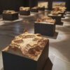
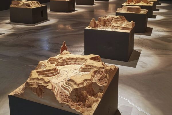
3D Surveying and VisualFX
See a breakdown of our work here
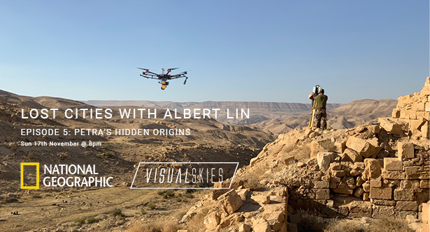
The Tools We Deployed


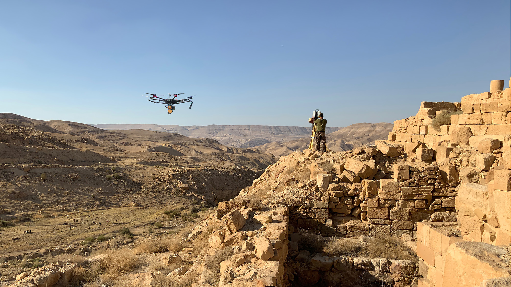
Surveying the citadel
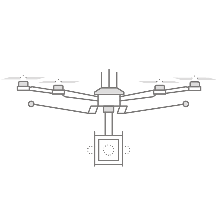
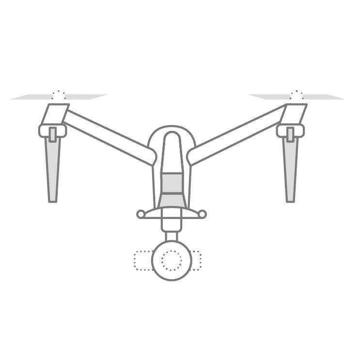
Aerial LiDAR
Deploying the GEOslam Zeb horizon paylod on our DJI M600 pro enabled a flight time of 25 minutes, which allowed us to scan an incridibly large section of landscape in each flight – Combined with Dual photogrammetry cameras to capture an even greater area in one flight than was previously possible.
‘Ground Truth’
Terrestrial LiDAR
Utilising the high accuracy of the Leica P50 we were able to capture sub mm details with high fidelity – This device also allowed us to combine aerial photogrammetry with ground lidar to create a large scale, high accuracy, photorealistic 3D model of Sela


Textured Dataset
Aerial Photogrammetry
Applying photogrammetric images to large scale LiDAR surveys.
We captured over 5000 images and combined them with the LiDAR data.