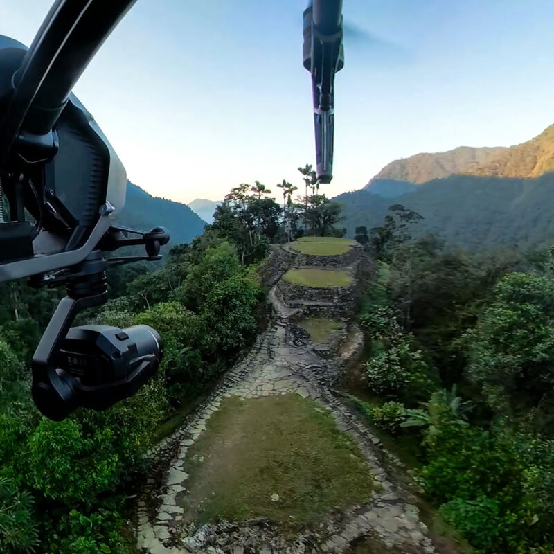
Archaeology gave 3D scanning some of its most meaningful work. Sites are fragile, remote and irreplaceable; capture produces records that survive erosion, conflict and time — and data precise enough for researchers to test hypotheses against long after the team has left. Visualskies has taken that brief around the world, most visibly across multiple seasons of Lost Cities with Albert Lin for National Geographic, scanning Petra’s hidden hydrology, Inca sites in the clouds, Acre’s crusader tunnels and the Pacific ruins of Nan Madol by aerial LiDAR.
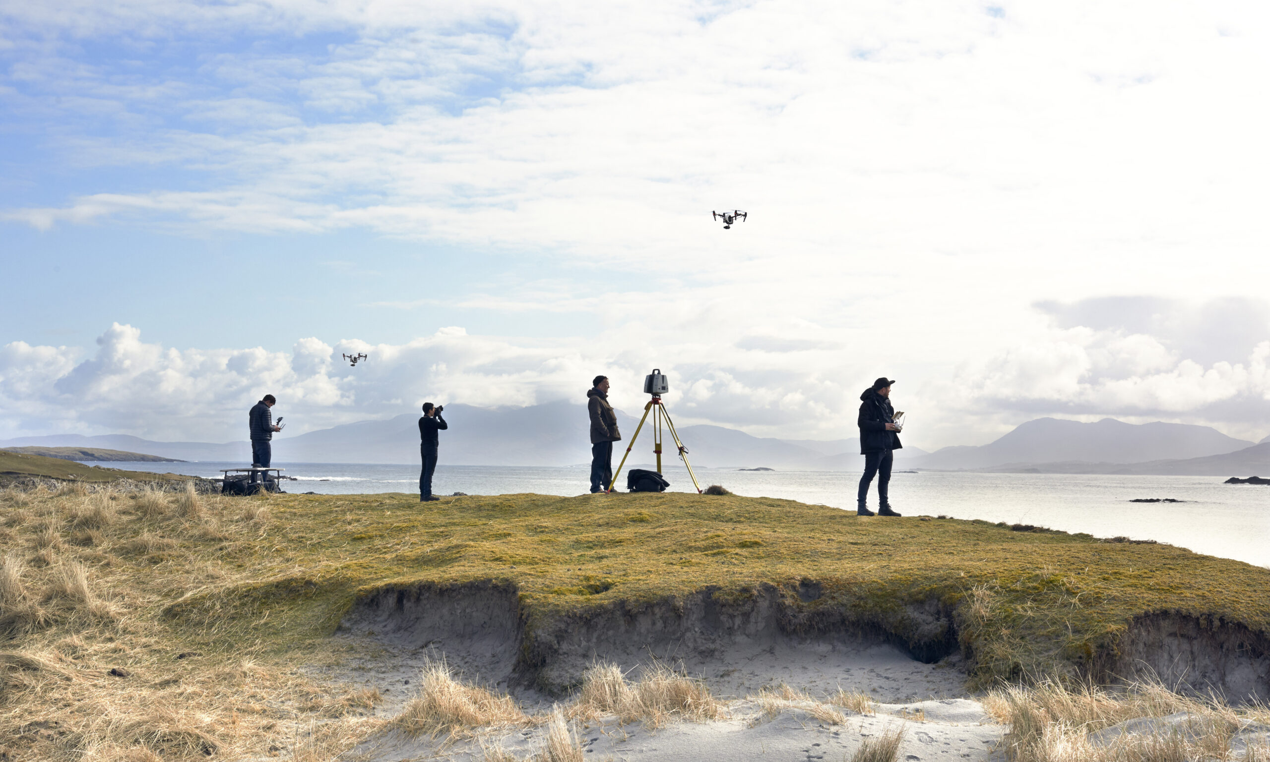
The posts under this tag document those expeditions and the craft behind them: flying sensors over sites vehicles can’t reach, fusing aerial and terrestrial data, and turning point clouds into discoveries that changed how sites are understood. Archaeological capture also feeds back into everything else we do — the discipline it demands makes film-set work feel straightforward. Researchers, broadcasters and heritage bodies planning site documentation will find the relevant precedents here.