Overview
As virtual production is becoming a significant method for filmmakers, the demand for digital backgrounds is growing. Visualskies photogrammetry techniques provide photo-realistic environments which are optimised explicitly for virtual production. This photo-realism is based on the beneficial combination of LiDAR and photogrammetry.
‘The Bridge’ case study shows how these two incredible techniques work together. A detailed copy of the real environment with high resolution texture maps is created from the photogrammetric images. The precise LiDAR data adds another level of detail and accuracy to the reconstructed geometry. It generates sharp edges and clear structures in the scan. We used the Z+F Imager 5016 to capture a scan point every 6 millimeters at 10 meters distance.
For taking the photos we used the Sony α7R full-frame camera with 61 megapixel and a 35 mm lens. We captured two 360° HDRI on both sides of the bridge with a Nodal Ninja and the Sony α7R with a 8 mm lens. For each 360° HDRI six sets of 5 bracketed images were stitched together. We generated HDR textures of characteristic elements of the site like street signs or water damage.
Additionally, we carefully selected small parts of the environment’s surfaces, for example a patch of the brick wall, and 3D scanned these parts separately and up close. These independent 3D samples were then used to generate tileable and real-time ready materials. This new innovative workflow developed by Visualskies opens up new possibilities to create quickly high quality and lightweight environments for virtual production.
A special thanks goes to Jonnie Godfrey for his collaboration on the project.
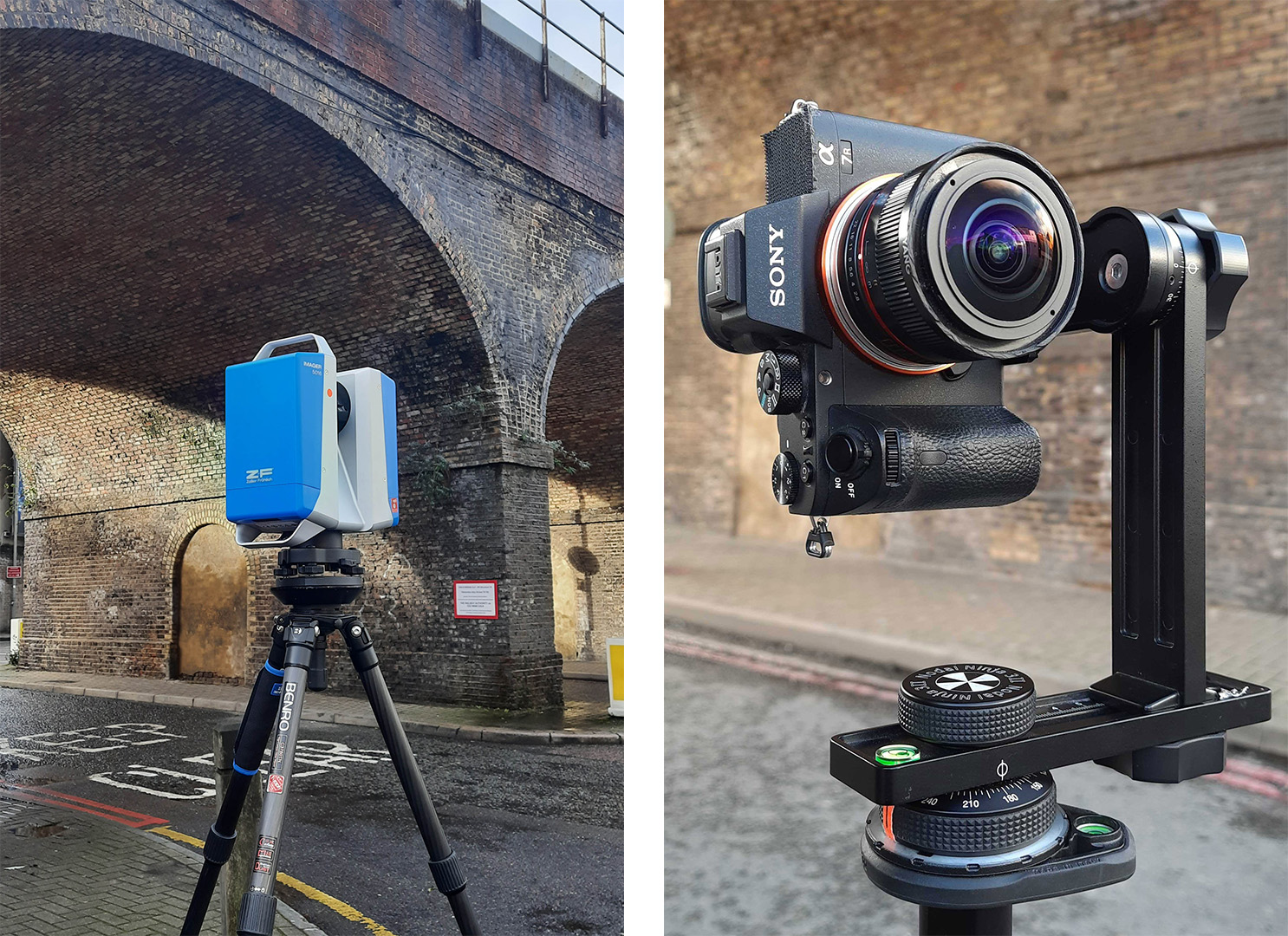
The Z+F Imager 5016 laser scanner (left)
The Nodal Ninja with the Sony α7R and a 8 mm lens (right)
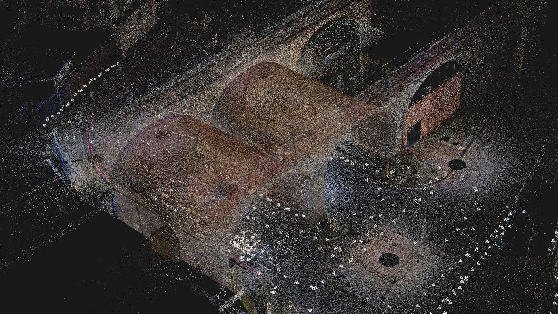
Photogrammetric and LiDAR data aligned together in one dense point cloud
Project
The Bridge
Use Case
Virtual Production
What We Did
3D Environment Scanning
High resolution textures
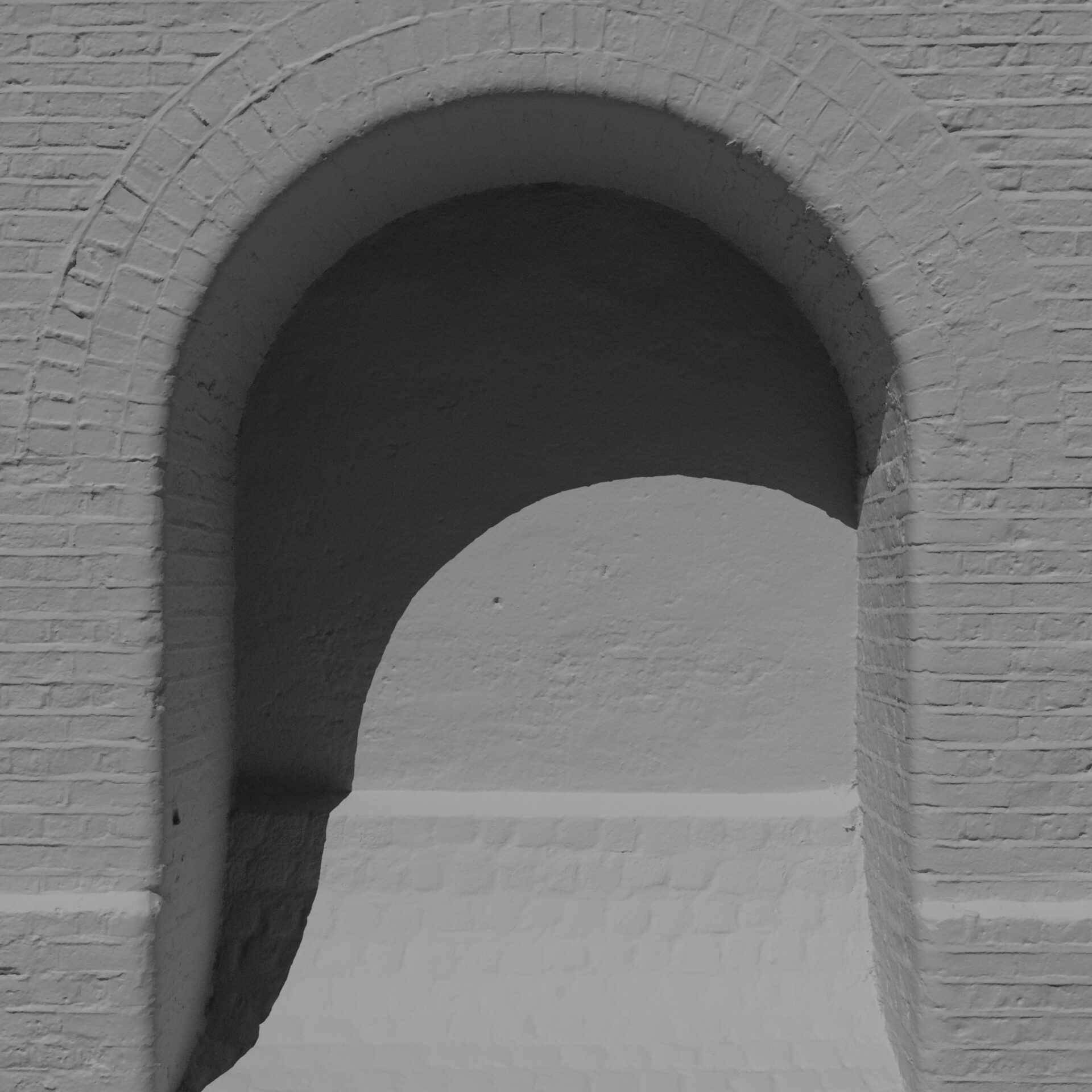
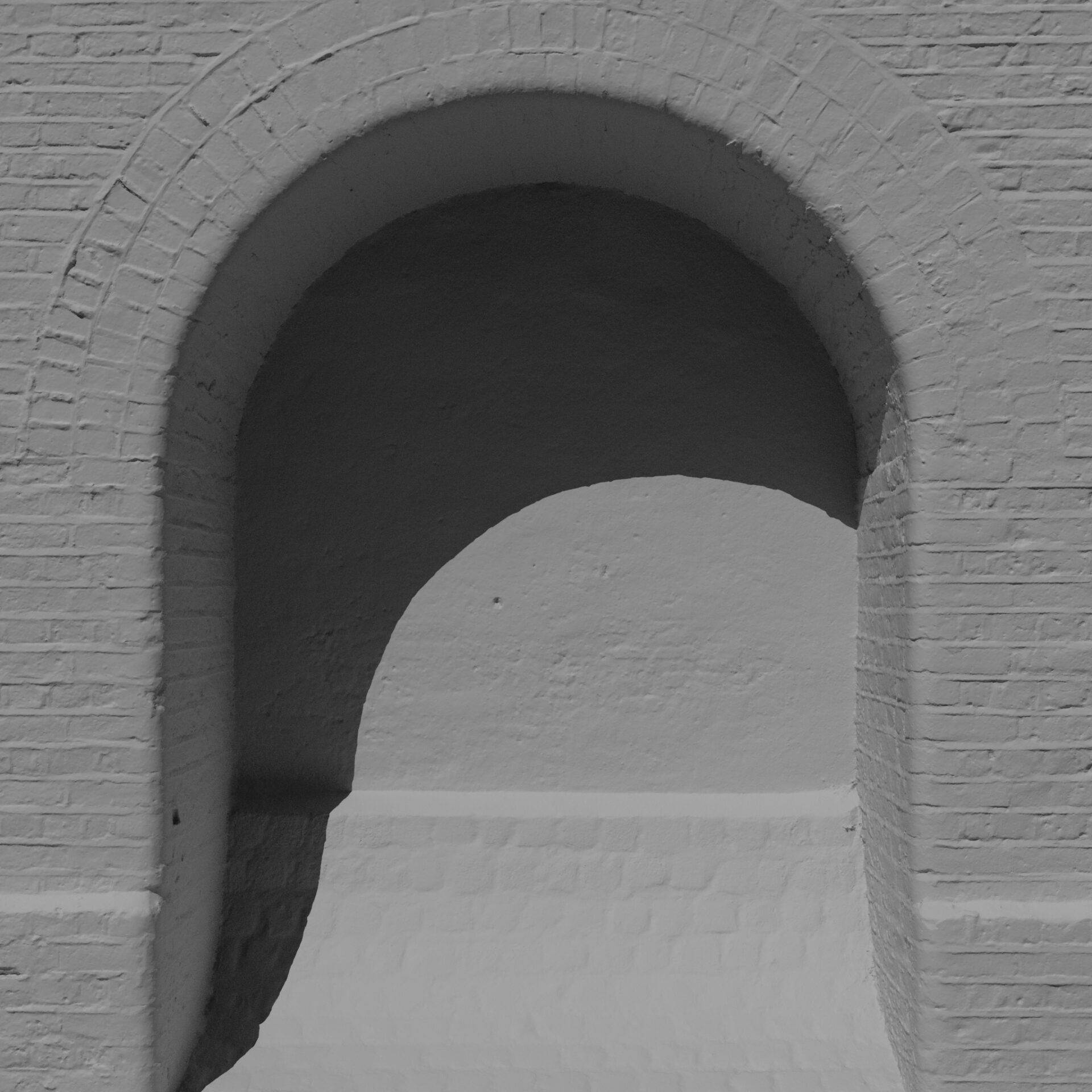
With photogrammetry we created high quality textures which support the photo-realistic look.
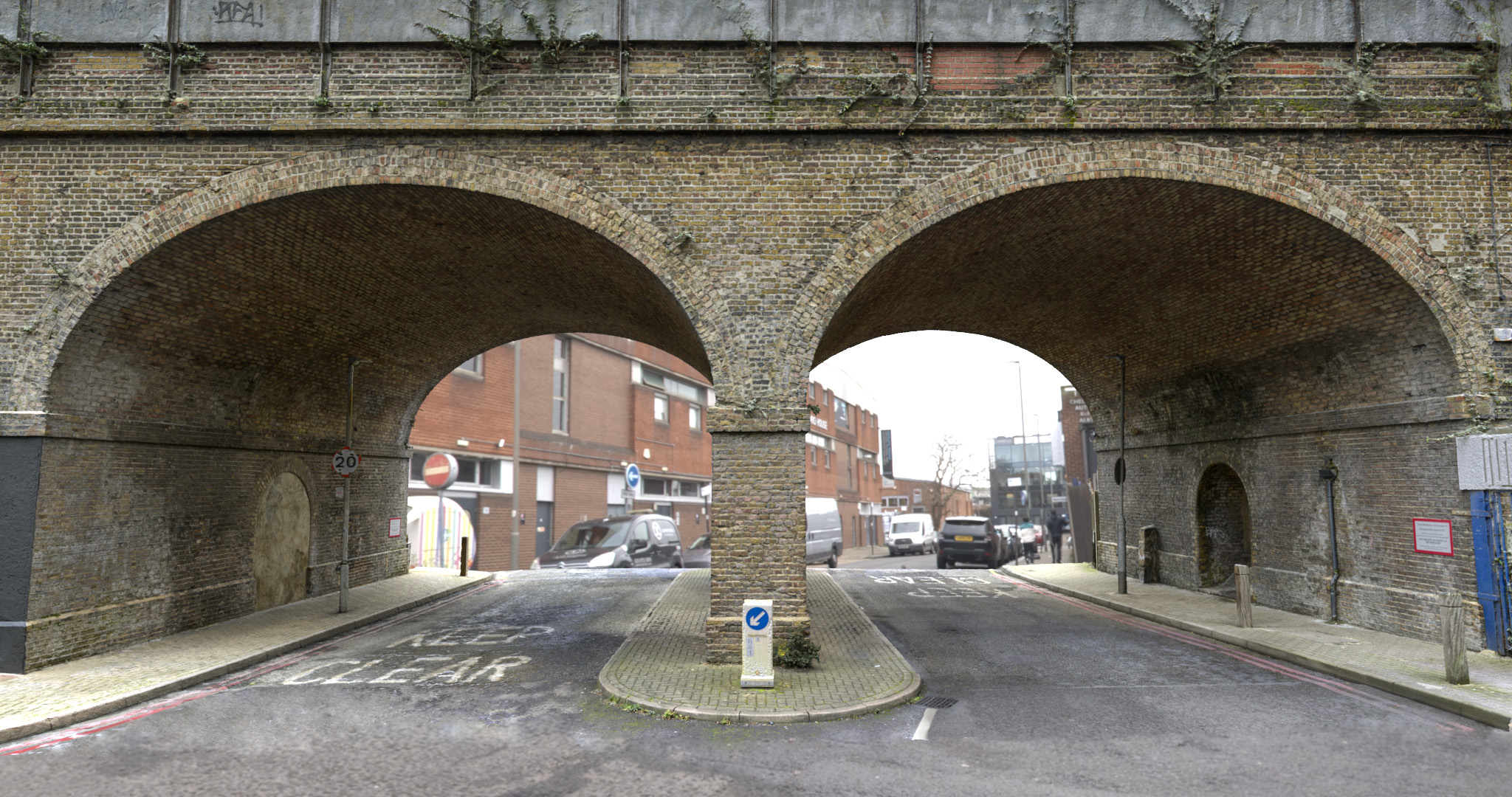
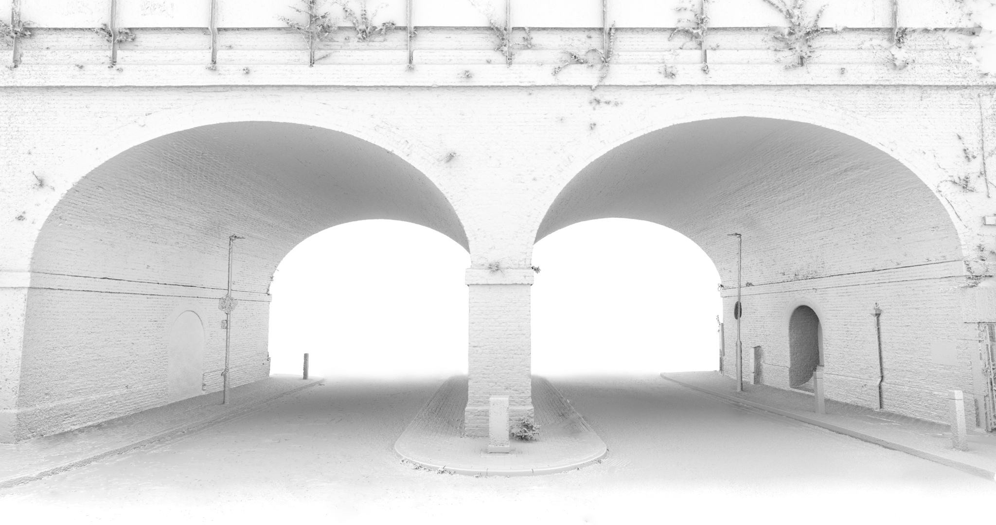
High resolution geometry
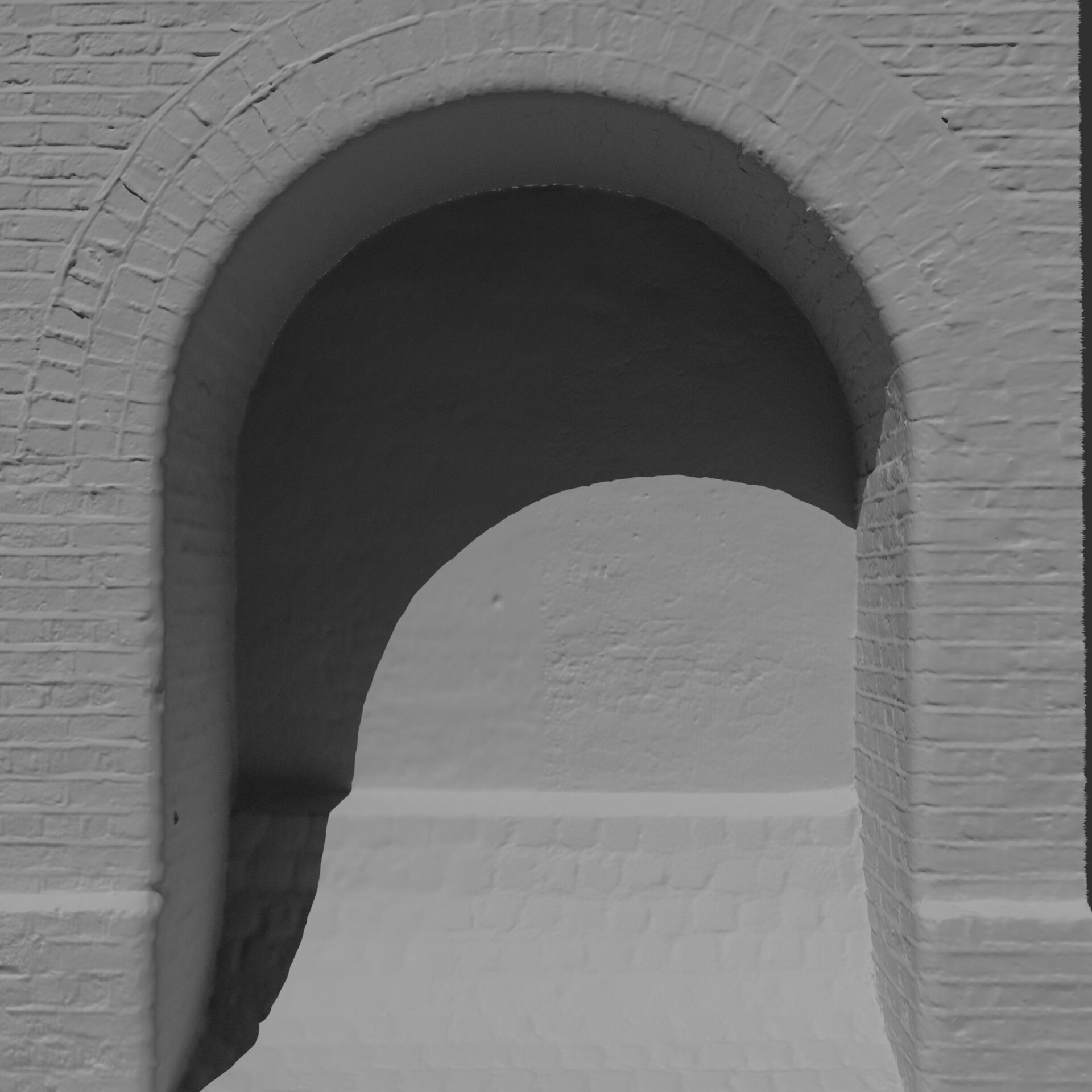
Using photogrammetry and LiDAR data combined we generated a highly detailed 3D reconstruction of the bridge.
See the comparison of the processed data below
The optimised asset in real time
Check out Visualskies write up in Broadcast
