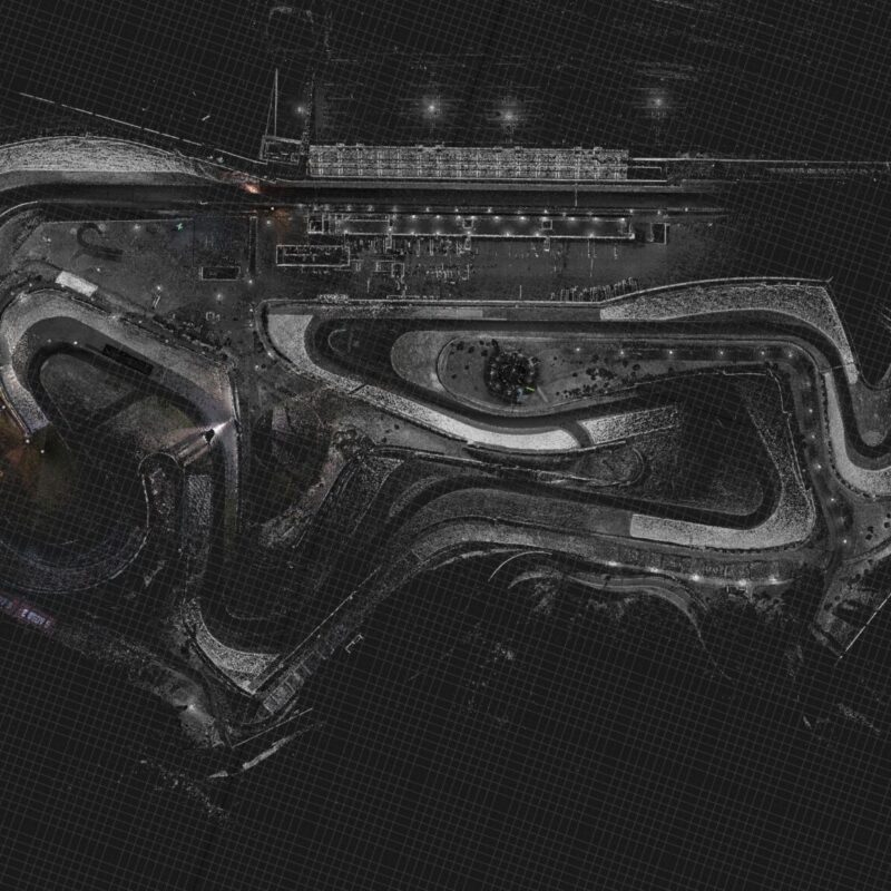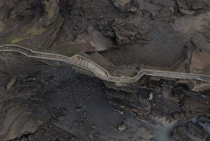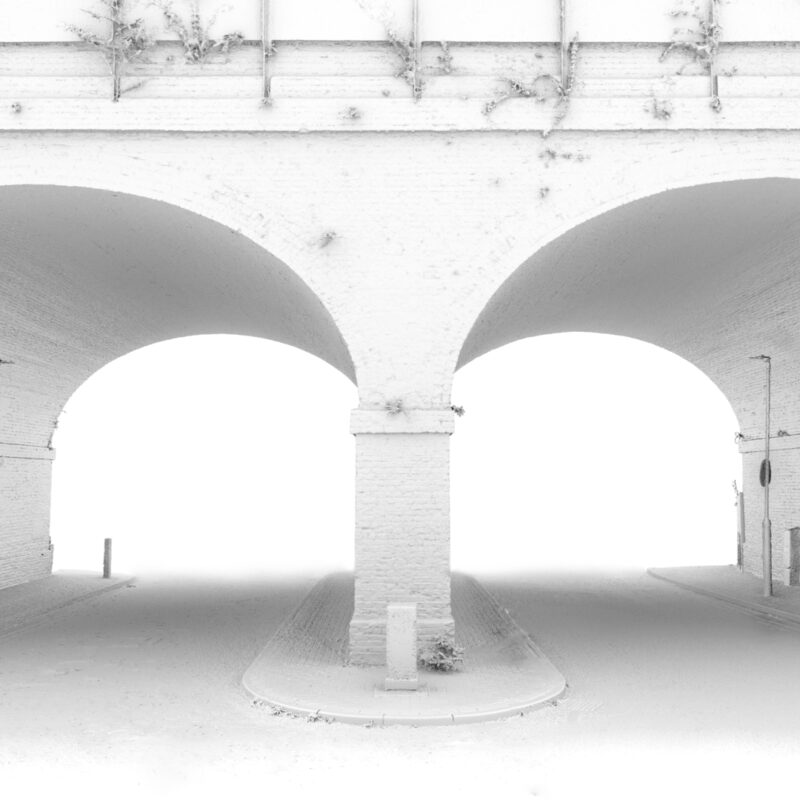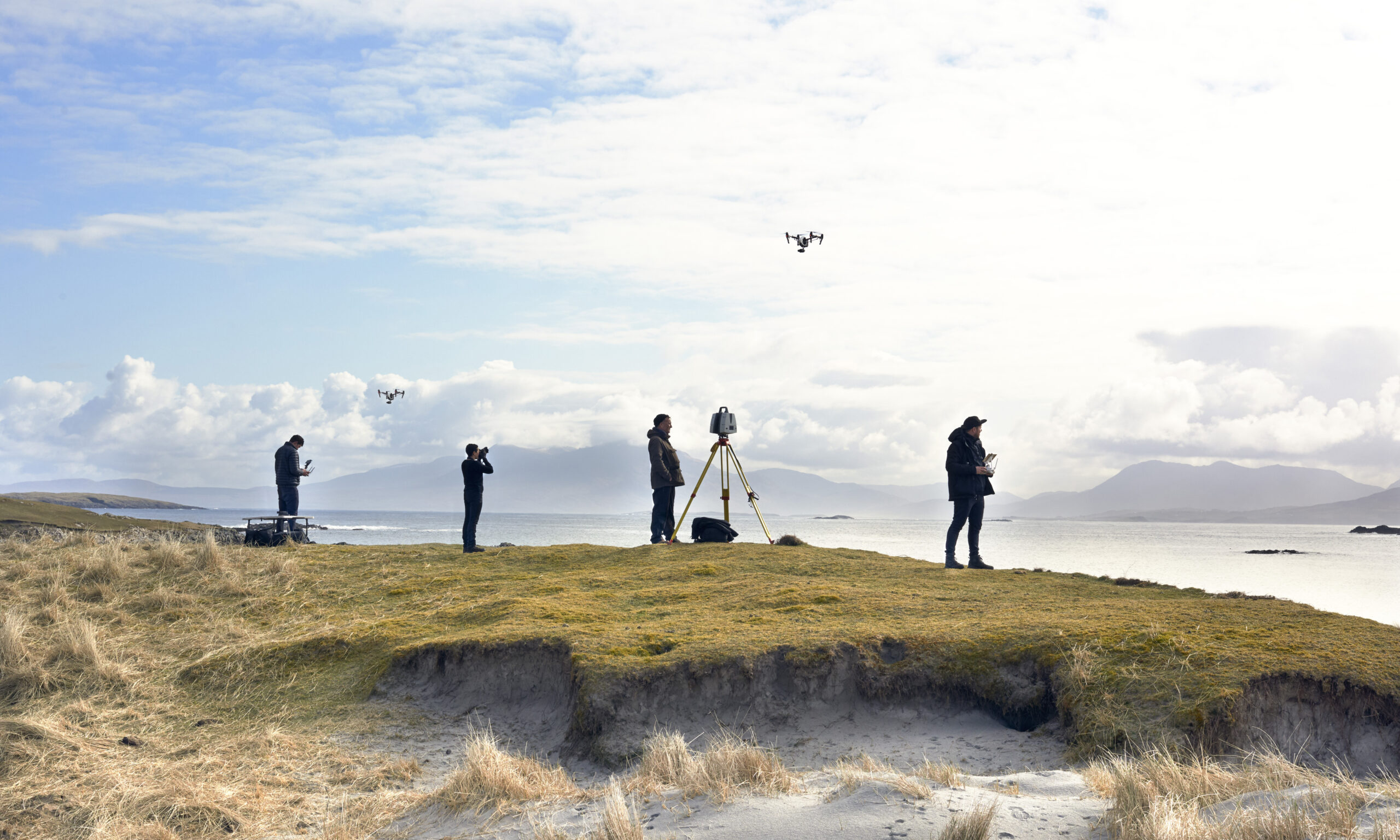
LiDAR is the backbone of almost everything Visualskies captures. By measuring millions of laser return points per second, terrestrial and aerial LiDAR scanners produce point clouds accurate to the millimetre — the raw truth of a location that photogrammetry, CG and virtual production all build upon. We run survey-grade units for full film sets, compact scanners for fast between-take captures, and drone-mounted aerial LiDAR for landscapes and archaeology that no tripod can reach.
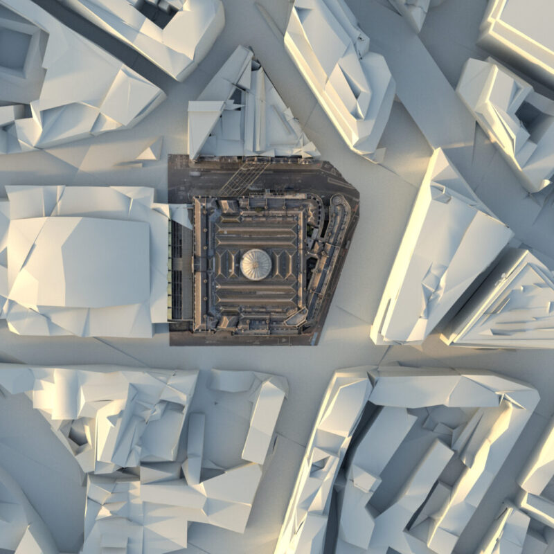
The work tagged here shows the technology across its full range: costing and planning LiDAR capture for film sets, scanning House of the Dragon environments, surveying Smithfield ahead of redevelopment, and flying aerial LiDAR over the remote ruins of Nan Madol. You’ll also find it paired with newer techniques — Gaussian splatting, volumetric capture, Unreal Engine workflows — because LiDAR data is rarely the end product; it’s the accuracy layer underneath everything else. Start with our guide to what LiDAR scanning a film set actually costs if you’re scoping a production.