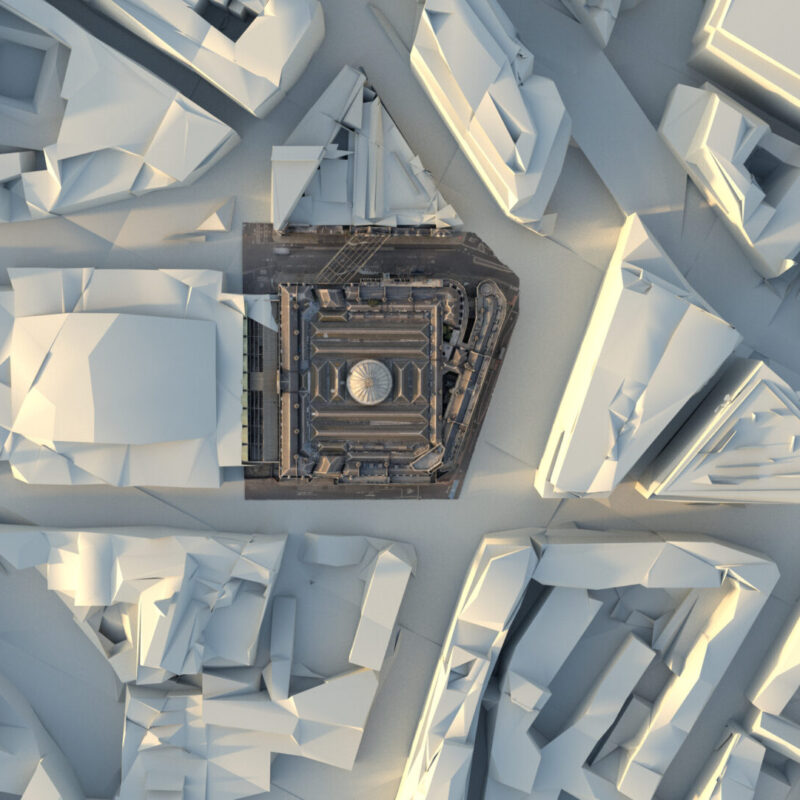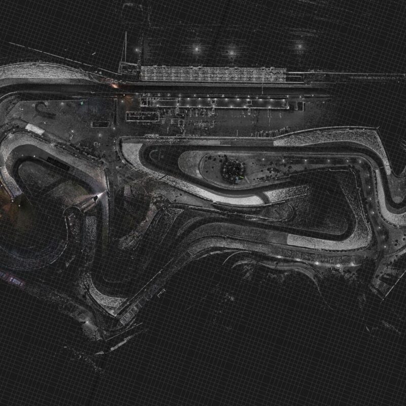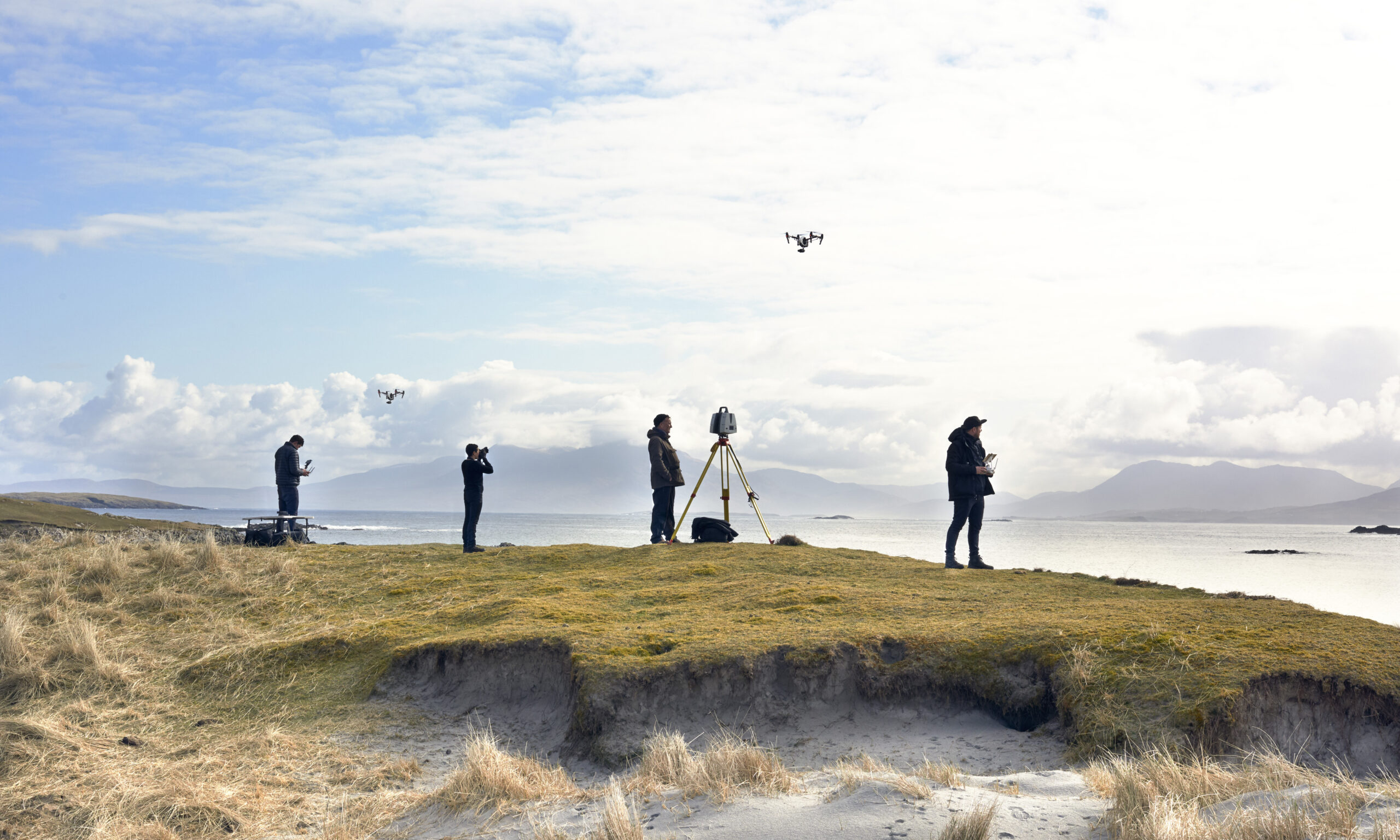
DJI Terra is the processing bridge between a drone flight and usable 3D data. It turns aerial photography and LiDAR captures into point clouds, meshes and orthomosaics — the deliverables that surveyors, VFX houses and heritage teams actually work with. At Visualskies, Terra sits inside a larger pipeline: we plan missions around the deliverable, fly with DJI platforms, process through Terra and refine in our reconstruction toolchain until the data meets film-grade standards.
The posts under this tag document that workflow on real projects — urban surveys, heritage capture and production work where aerial data had to fuse cleanly with terrestrial LiDAR. Processing software choices rarely make headlines, but they decide how fast a capture turns into an asset and how much manual cleanup the data needs. If you’re evaluating aerial capture workflows, or need drone survey delivered as production-ready 3D, these case studies show our approach end to end.