
VISUALSKIES
THE VIRTUALISATION STUDIO
PRECISION 3D SCANNING
As globally recognised technology drivers, Visualskies is a hybrid studio bridging the gap between physical reality and digital worlds. We deliver an end-to-end 3D scanning solution for Film/TV, Heritage & Commercial. Integrating multi-scale volumetric capture, custom processing pipelines, and Unreal Engine 5 workflows.
From foundational data to real-time In-Camera VFX, we empower storytellers to define the digital future through our three core pillars: CAPTURE, CREATE, and EXPERIENCE.
OUR WORK
RECENT PROJECTS
PROJECT INDEX //
- 01
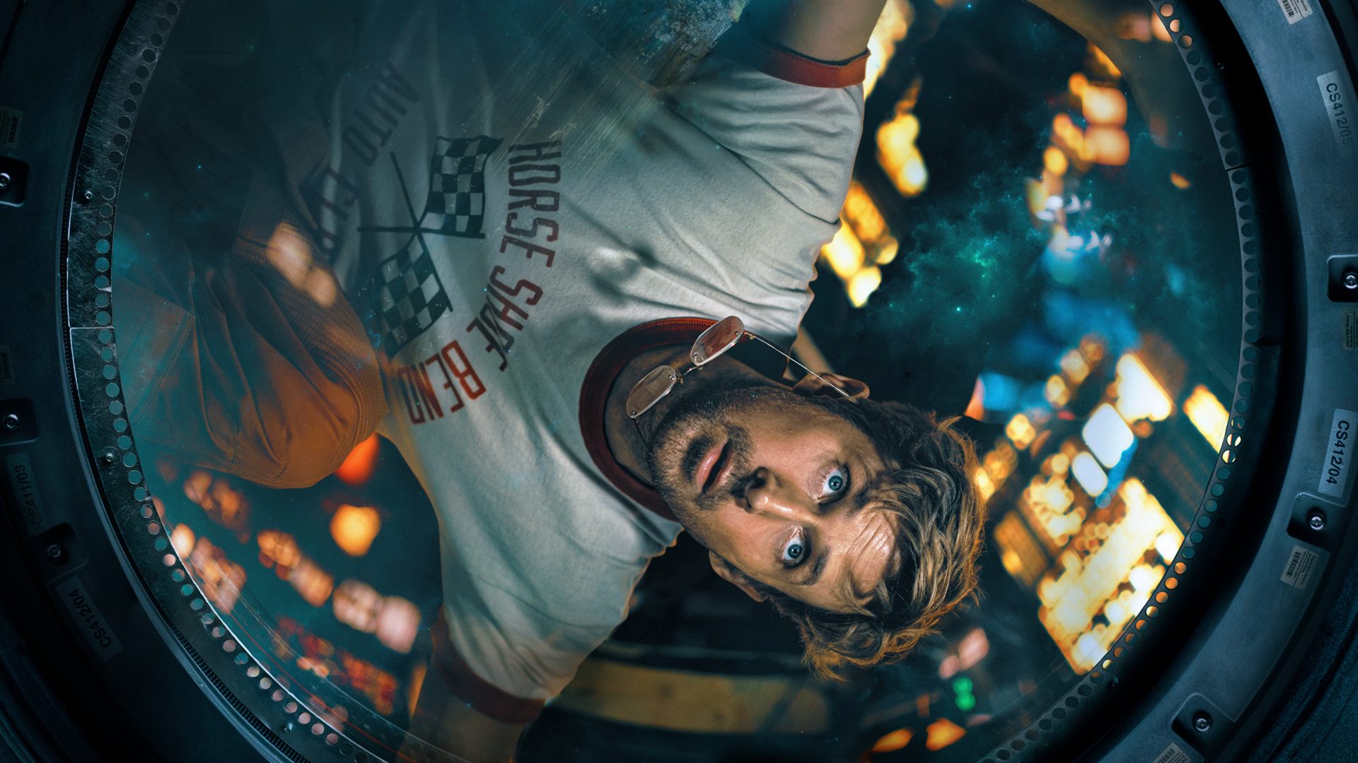
NAPOLEON
FILMInvisible VFX & crowd scanning.
- 02
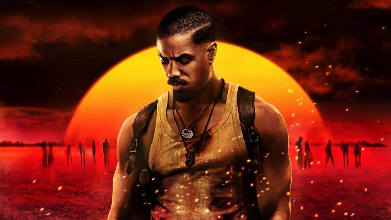
ONE LOVE
FILMMobile Cyber Rig & Environment scanning.
- 03
REFIK ANADOL
ARTSFoliage data captured for AI Installation.


Active Protocols
01 FILM→
02 HERITAGE→
03 GAMING→
04 FASHION→
05 BUILD→
06 ARCHAEOLOGY→
46
Nations Served
1M+
Total Scans
80K
Drone Scans
55K
LiDAR Scans
200K
Cyber Scans
100K
Set Scans


SERVICES
CAPTURE
FOR VFX SUPERVISORS
EXPLORE CAPTURE
CREATE
FOR TECH DIRECTORS
- Custom Tools
- Pipeline Dev
- VSScout
EXPLORE CREATE
EXPERIENCE
FOR PRODUCERS
- Custom Physical Builds
- Immersive Creations
- VR / AR
EXPLORE EXPERIENCE
OUR NEWS
Explore the journal
Film & TV · Featured Projects · Heritage & Archaeology · Construction · Commercials · Experimental XR · Future Technology · Company News · Sustainability · Fashion & Photography · Music Videos · Industry Developments
LiDAR and 3D Gaussian Splatting Across the AEC Lifecycle
LiDAR and 3D Gaussian Splatting Across the AEC Lifecycle
Read MoreHow Much Does It Cost to LiDAR Scan a Film Set?
How Much Does It Cost to LiDAR Scan a Film Set?
Read More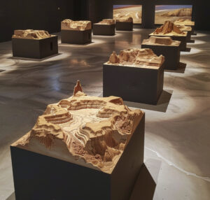
Digital Archaeology: Using 3D Scan Data to Unveil the Hydrological Secrets of Petra
Digital Archaeology: Using 3D Scan Data to Unveil the Hydrological Secrets of Petra
Read More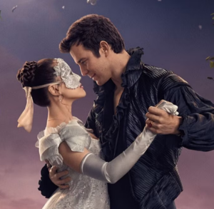
Behind The Scenes: 3D Scanning on Bridgerton and Why Equipment Always Matters
Behind The Scenes: 3D Scanning on Bridgerton and Why Equipment Always Matters
Read More
Visualising Possibility: How Visualskies Powers Art & Immersive Experiences
Visualising Possibility: How Visualskies Powers Art & Immersive Experiences
Read More
Using Ethical AI Training to Drastically Cut Previs Time (Without Scraping Artists’ Work)
Using Ethical AI Training to Drastically Cut Previs Time (Without Scraping Artists’ Work)
Read More
Enhancing 3D Scanning Through the Use of Drones, LiDAR and Gaussian Splatting
Enhancing 3D Scanning Through the Use of Drones, LiDAR and Gaussian Splatting
Read MoreSTART A CONVERSATION
Tell us about your project. We’ll help shape the capture.