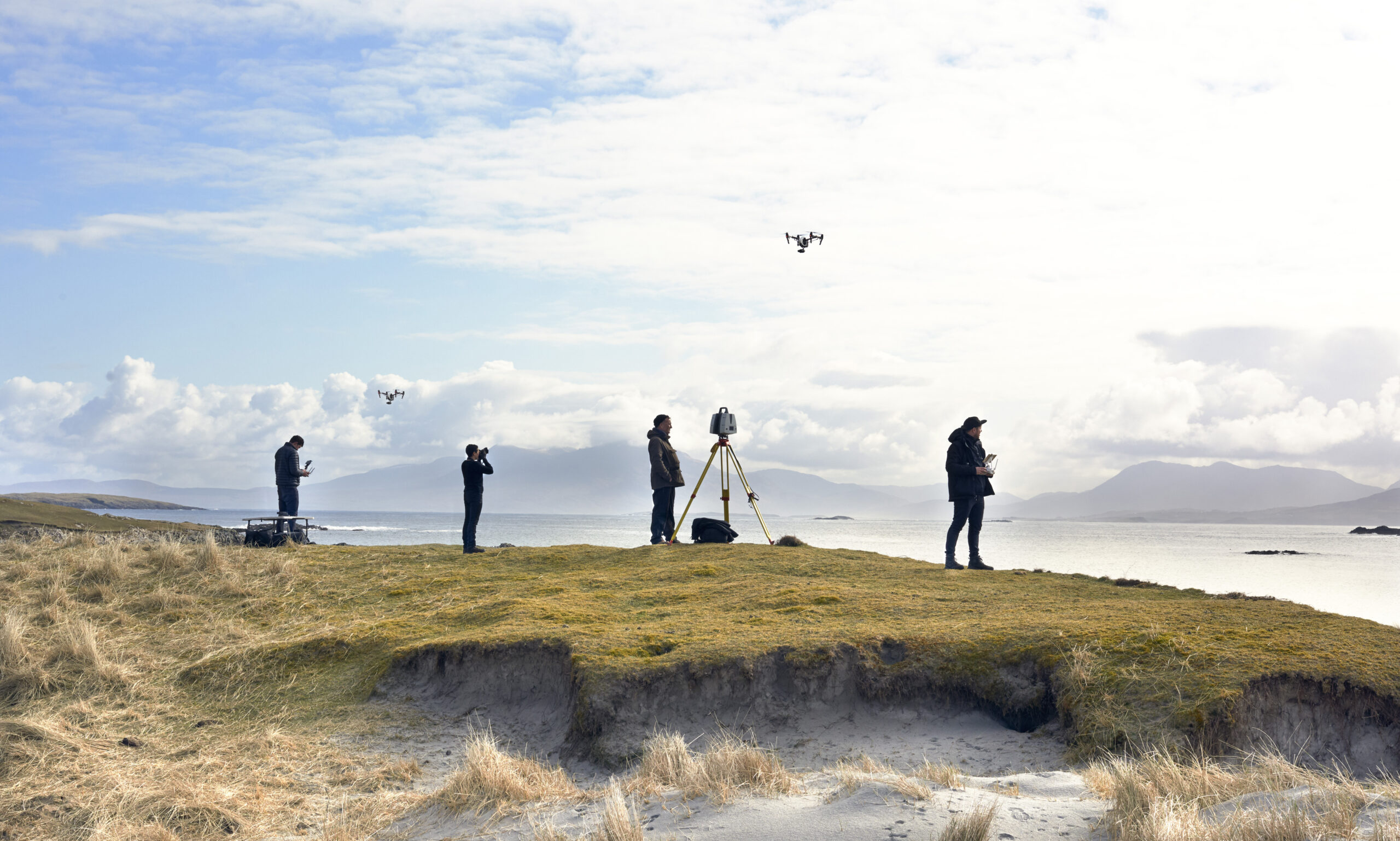
DJI’s aircraft carry a substantial share of our capture work. Drone platforms changed what a scanning studio can offer: aerial LiDAR and photogrammetry over sites that scaffolding and cherry-pickers could never reach economically, flown with sub-250g aircraft where regulations demand it and heavy-lift platforms where sensors require it. Visualskies operates DJI equipment across film sets, heritage sites and construction surveys — and we’ve discussed that work publicly, including joining DJI on the New Statesman podcast.
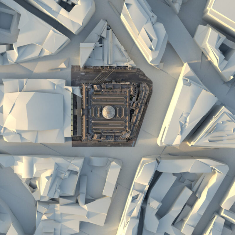
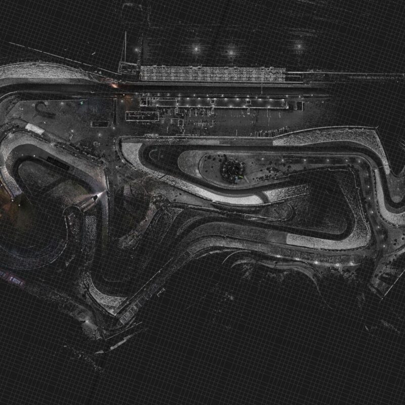
The tagged projects show the aircraft earning their keep: aerial survey for episodic drama, landscape-scale archaeology capture, and city work in Berlin and London. Drone capture is also where craft and compliance meet — flight planning, permissions and safety cases matter as much as sensor choice — and our posts reflect that operational reality. If your project needs the aerial layer, from a single establishing scan to full-site LiDAR coverage, this is the equipment and experience behind it.